A Look Back at Hurricane Hugo
 Processing Request

Hugo's History
A dozen days after a tropical depression formed off the coast of Africa, the storm that would develop into Hurricane Hugo slammed into the South Carolina coast and moved through both Carolinas.
Five days after forming, Hugo had a name and swelled to a Category 5 storm in the Atlantic. Three days later it crossed over the U.S. Virgin Islands and Puerto Rico, killing eight.
The morning of Thursday, Sept. 21, Hugo had weakened to a Category 2 storm, but not before hurricane warnings were issued for South Carolina's coast. When Hugo crossed the Gulf Stream, it strengthened into a Category 4 that night.
Just after midnight on Sept. 22, Hugo made landfall as a Category 4 storm in Sullivan's Island with 140 mph winds and a 12-foot storm surge.
More than 250,000 evacuated the coast, according to the South Carolina Department of Natural Resources.
Hugo made landfall at high tide on Sullivan's Island, producing the highest storm tides ever recorded on the East Coast, with Bulls Bay reporting a 20-foot storm tide. A dozen people lost their lives on the Isle of Palms and Sullivan's Island as Hugo destroyed or damaged some 10,000 homes and created more than $3 billion in damages.
In Charleston, the Coast Guard recorded 138-mph winds, and weather stations in downtown Charleston recorded 120-mph winds during Hugo. Despite seeing flood waters rising several feet in sections of downtown Charleston, the National Weather Service said a track further south and closer to Charleston would have likely put most of the peninsula underwater.
| Hurricane Hugo Damage |
|---|
|
|
Hugo's Impact around Charleston County
Charleston
Along the Battery, water crashed over the sea wall and flooded the first floors of homes across the peninsula. Hugo's strong winds ripped off roofs to upwards of 80 percent of the homes and businesses in the city, and damage surveyors found more than 100 buildings suffered substantial structural damage or had collapsed in the storm. A crane sitting in the harbor was destroyed as Hugo passed the Holy City.
Folly Beach
Between 30 and 80 percent of homes on Folly Beach were uninhabitable after the storm, according to local news coverage at the time. Hugo's 12-foot storm surge wiped pavement from roadways, and destroyed almost all of the beachfront single family homes.
Mount Pleasant
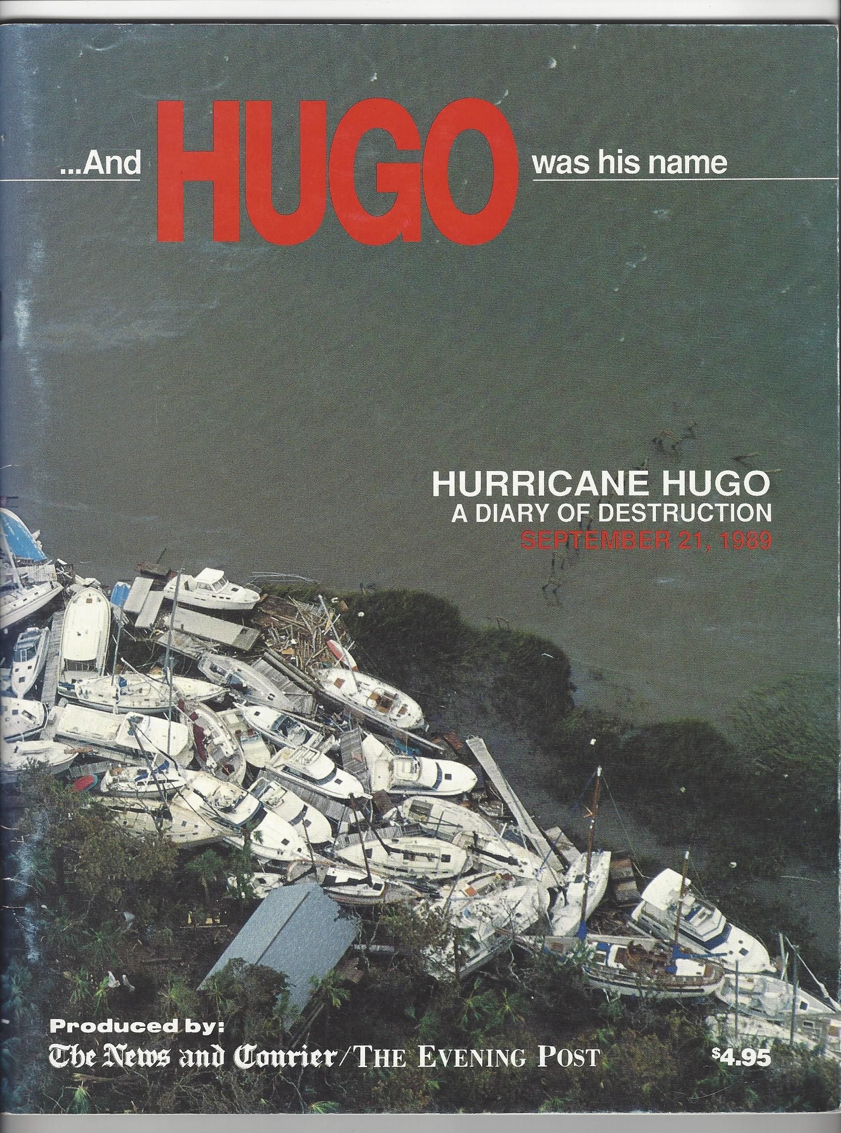
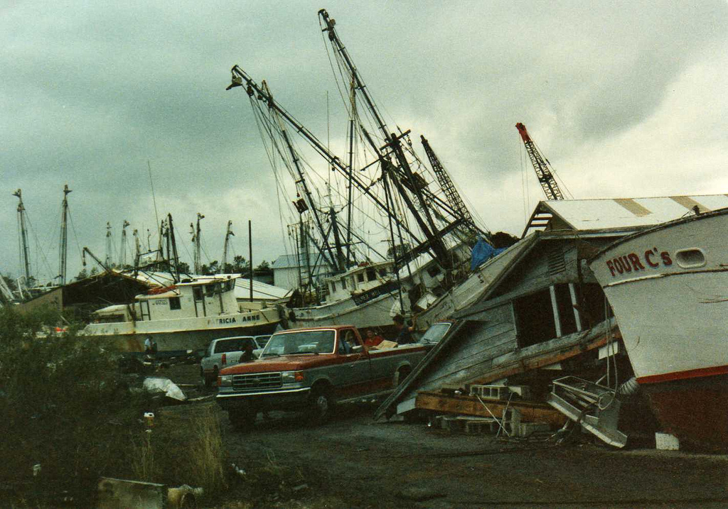
Hugo made landfall in the Mount Pleasant area, causing significant wind damage to buildings and trees, and the amount of debris created by the storm made roads impassable. In Shem Creek, a number of fishing boats sank. Many weather experts believe Bulls Bay, just north of Mount Pleasant, was the site of the highest storm surge at 20 feet based on the debris marks found after the storm. In nearby Awendaw, a section of Highway 17 that goes across Awendaw Creek was destroyed.
Isle of Palms
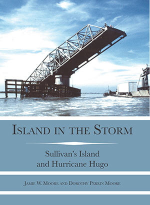
The Isle of Palms fishing pier was wiped out by an 11-foot storm surge, as were a number of beachfront homes.The Ben Sawyer Bridge was damaged and was seen in photos after the storm with one end tipped into the water. In Wild Dunes, the golf course suffered damage due to erosion.
Sullivan's Island
The Post and Courier reported at the time that every home on Sullivan's Island and the Isle of Palms suffered some damage during Hugo. The islands were placed under martial law by then-Gov. Carroll Campbell. News reports after the storm show clashes between homeowners trying to get back onto the islands and police stopping them. Sea levels were 13 feet above normal on Sullivan's Island, and a number of older homes were destroyed.
McClellanville
The small fishing town dealt with some of the worst damage in Hugo as fishing boats were carried by the storm surge over the highway and dumped inland. The hurricane-force winds and storm surge damaged or destroyed most buildings. Officials marked Lincoln High School as an emergency shelter in the storm, trusting elevation maps that marked the school's land as 20 feet above sea level. However, the school is only 10 feet above sea level, and the 16-foot storm surge washed through the school with 6 feet of debris-laden water, sending evacuees scrambling for safety.
Hurricane Hugo Materials
| Hugo's 16-Day Satellite Loop |
|---|
|
|
Hurricane Hugo Damage at CCPL Branches


![Hurricane-Hugo-[DVD]:-Bull-Island-before-and-after/-a-production-of-SCETV.](https://images.fineartamerica.com/images/artworkimages/mediumlarge/1/lone-trees-in-the-surf-bull-island-charleston-sc-tommy-white.jpg)
![Hurricane-Hugo-[DVD]:-update:-second-aerial-tour/-aproduction-of-SCETV.](https://charlestondaily.net/wp-content/uploads/2018/09/Screen-Shot-2019-08-01-at-2.27.37-PM.png)
![Hurricane-Hugo-[DVD]:-the-storm-of-the-century/-a-production-of-SCETV.](https://images-na.ssl-images-amazon.com/images/I/61IjBMnffkL._SX378_BO1,204,203,200_.jpg)
